Walking route
Whisper of the Heart Walking Route and Map
A step-by-step walking route from Seiseki-sakuragaoka Station's West Exit over the Otakuri River, up Irohazaka past Konpira Shrine and Tenshudai to the Sakuragaoka roundabout, with stamp spots and options for getting back.
By Tama Travel GuideFacts checked: 4 sources
At a glance
- Nearest station
- Seiseki-sakuragaoka, West Exit
- Best for
- Whisper of the Heart fans; free, uphill walk
The classic Whisper of the Heart walk is a single uphill route. It starts at the Youth Post at Seiseki-sakuragaoka Station’s West Exit, follows Sakura-dori over the Otakuri River, climbs the switchbacks and stairs of Irohazaka past Konpira Shrine and Tenshudai, and finishes at the Sakuragaoka roundabout. It is all on public streets and free. The only hard part is the climb. Walk it uphill, then take a bus back down or walk back the same way.
Route at a glance
| # | Section | What you’ll see | Stamp |
|---|---|---|---|
| 1 | West Exit → Youth Post | Monument modelled on Chikyuya, map board | ① Seiseki SC Building A, Keio Store 2F elevator |
| 2 | Sakura-dori → Kasumigaseki Bridge | Shops, Kanzoin temple just off the road, Otakuri River | ② FamilyMart |
| 3 | Bridge → Irohazaka Sakura Park | Small park with a view back over the station | |
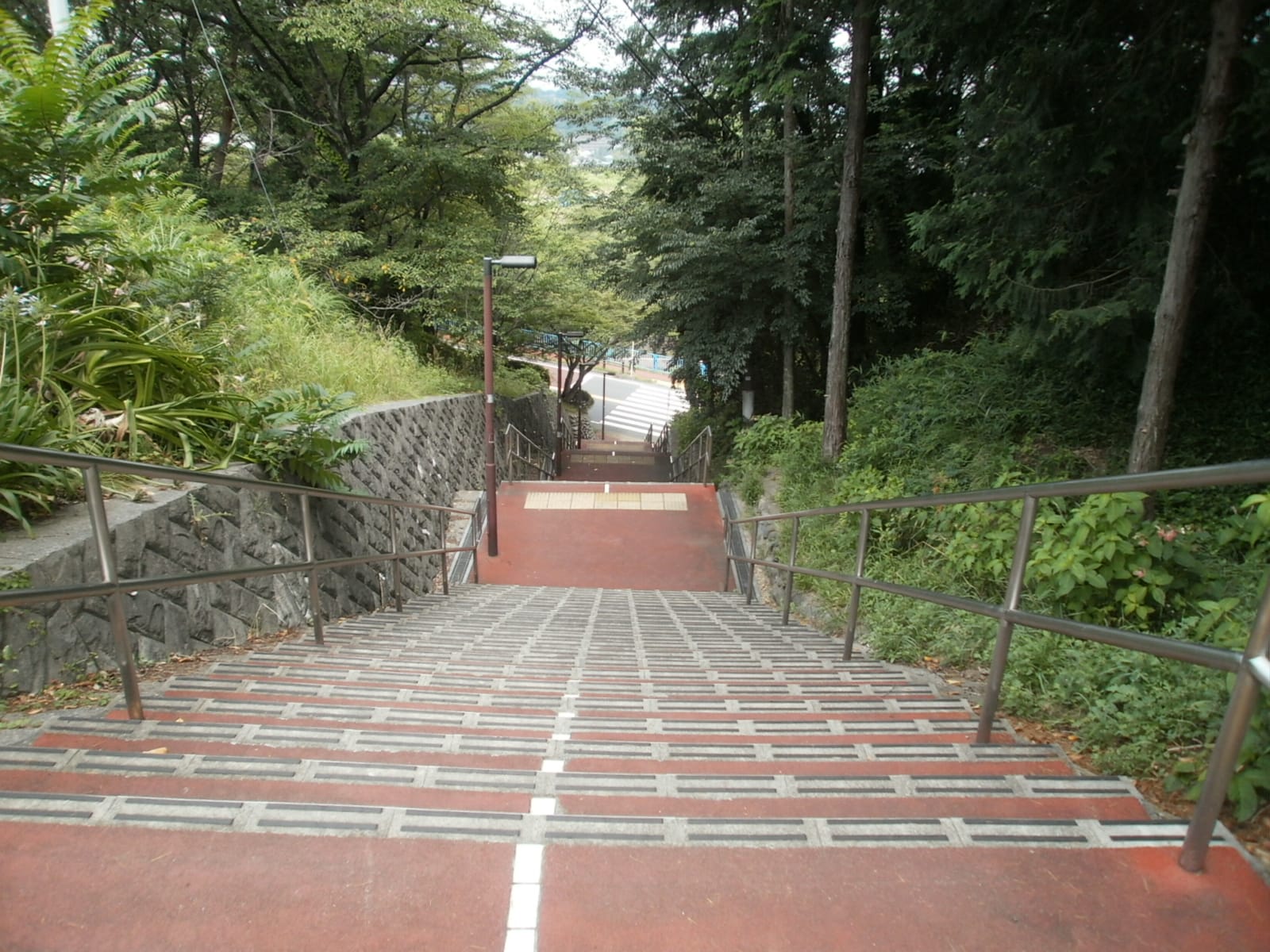
| 4 | Irohazaka switchbacks and stairs | The stairs the map calls the model for those in the film | |
| 5 | Konpira Shrine | Small shrine, the model for the confession scene | |
| 6 | Tenshudai | High point of the route, said to be the site of Sekido Castle | |
| 7 | → Sakuragaoka roundabout | The roundabout said to be the model, with shops | ③ Noa Yogashiten or ④ Dining Wazakura |
Step by step
1. Start at the Youth Post (West Exit)
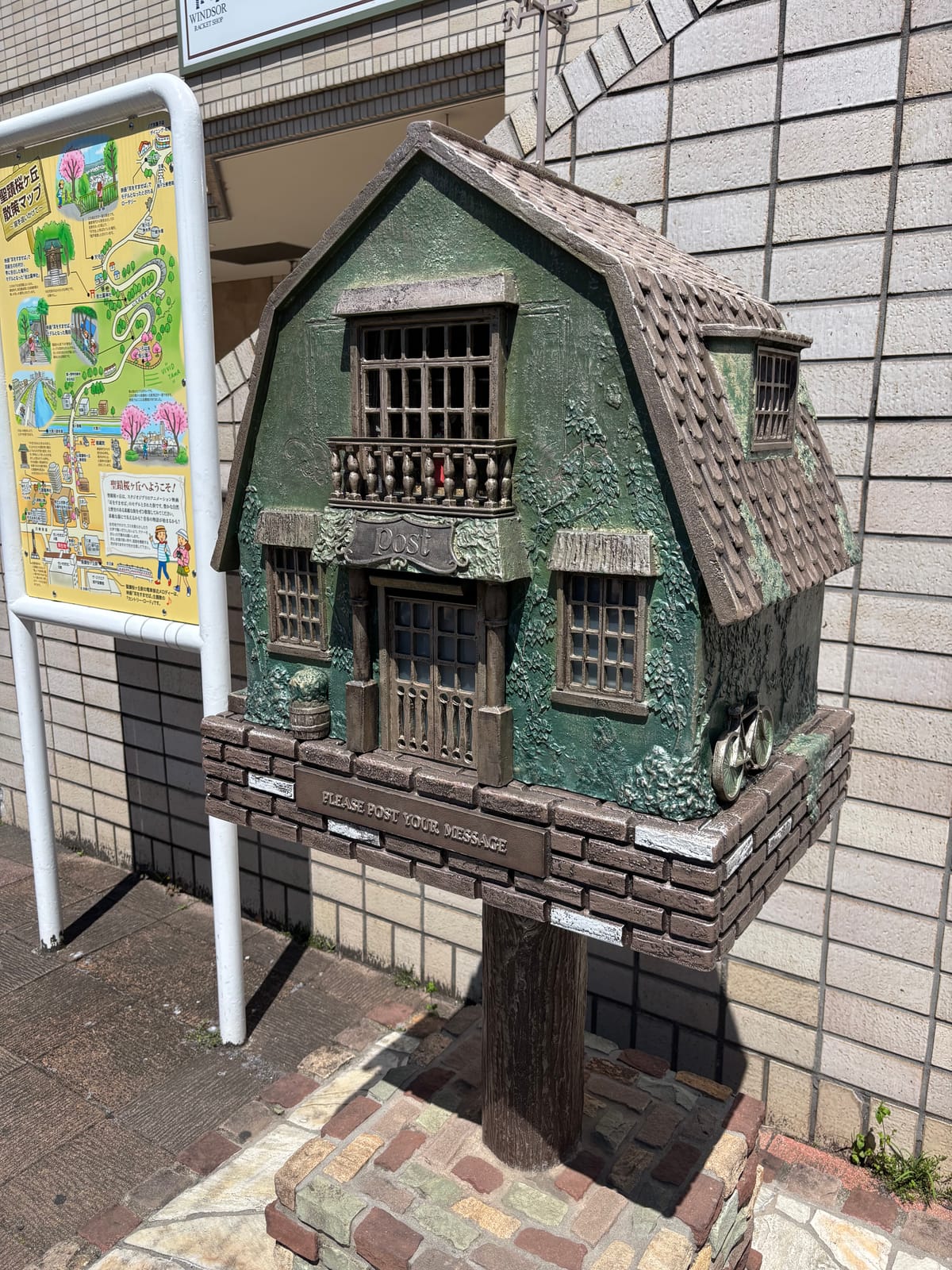
Leave Seiseki-sakuragaoka Station (聖蹟桜ヶ丘) by the West Exit (西口). The Youth Post (青春のポスト) stands here with the walking-map board beside it. Tama City describes it as a monument expressing the world of the film, set up by local shops and fans. You can write a dream or goal and post it inside.
The first stamp is inside the station building: Seiseki SC Building A, in front of the 2F elevator by the Keio Store. Use the toilets in the station building before you set off, because there are few on the way up.
2. Sakura-dori to the river
Follow Sakura-dori (さくら通り) away from the station. On the official map, you pass a police box, a Tama Shinkin bank branch and the Seiseki-sakuragaoka post office. The FamilyMart on this street holds stamp ②. Kanzoin (観蔵院), a temple with Kamakura-period roots and seven lucky gods statues in its grounds, is just off the road.
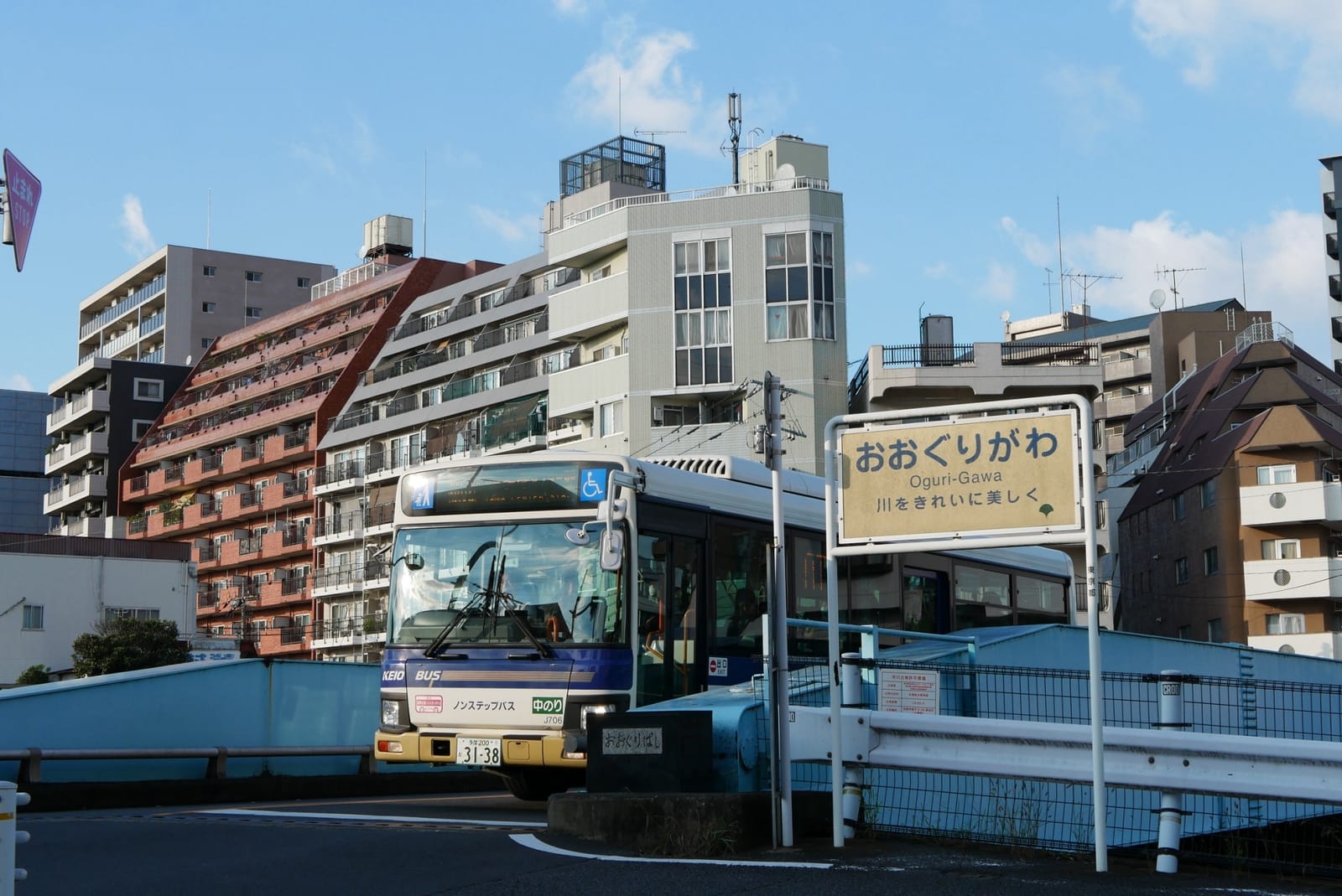
Cross the Otakuri River (大栗川) on the Kasumigaseki Bridge (霞ヶ関橋). The map shows a riverside promenade if you want a flat detour.
3. Irohazaka Sakura Park
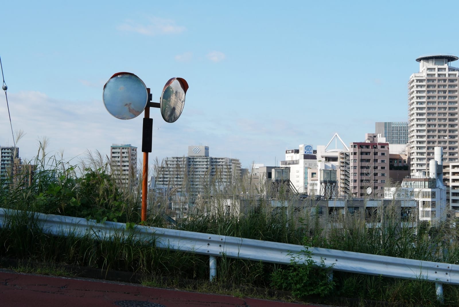
After the bridge, the road starts to rise. Irohazaka Sakura Park (いろは坂桜公園) is on the slope. The map says you can see the station area from here, that the cherry blossoms are lovely in spring, and that this is where the library stood in the film. It is a good place to catch your breath.
4. The Irohazaka switchbacks and stairs
.jpg)
Irohazaka (いろは坂通り) zigzags up the hill. A stairway cuts straight through the bends. The map calls these stairs the model for the ones in the film, and notes a large old pine tree beside them and a pleasant view down from the top. Taking the stairs is shorter but steeper. Following the road is longer but gentler and better for strollers. More detail is in Climbing Irohazaka.
5. Konpira Shrine
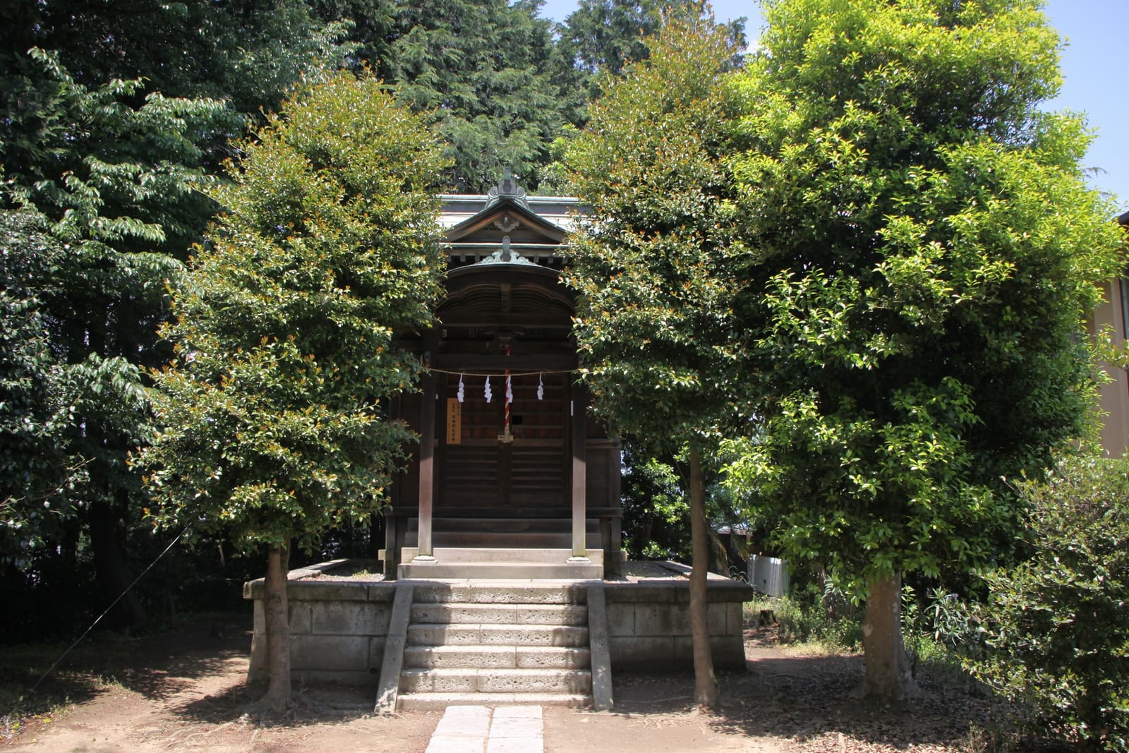
Near the top is Konpira Shrine (金比羅神社). The map names it as the model for the place where Sugimura confesses to Shizuku. It also notes that this hill is called Konpira-yama and was the scene of Kamakura-period fighting between Nitta Yoshisada’s army and the Hojo. It is a small shrine inside a residential area, and the map asks visitors to be quiet.
.jpg)
6. Tenshudai
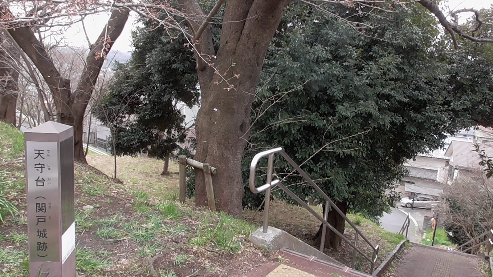
Tenshudai (天守台) is the highest point on the map. It served as a lookout from the Kamakura period and is said to be the site of Sekido Castle (関戸城跡).

7. On to the roundabout
The road continues past the Sakuragaoka water facilities (浄水所 and 配水塔 on the map), a post office and a police box to the Sakuragaoka roundabout (ロータリー), which the map says is believed to be the model for the film. Stamps ③ and ④ are here, at Noa Yogashiten (ノア洋菓子店) and Dining Wazakura (ダイニング・和桜). One of the two is enough to complete the card.
Optional: Haramine Park
The back of the map adds Haramine Park (原峰公園), about 3 minutes on foot from the roundabout. It has woods, a pond, the only wooden bridge among Tama City’s bridges (closed to walkers) and a grove of about 120 plum trees that peaks from February to early March. The adjacent Yu Sakuragaoka (ゆう桜ヶ丘) has toilets and a rest area.
Getting back
- Bus: the map shows a Sakuragaoka 4-chome (桜ヶ丘四丁目) bus stop at the roundabout, with services toward Seiseki-sakuragaoka Station and toward Nagayama Station. Haramine Park also has Sakashita (坂下) stops, toward Seiseki-sakuragaoka and Tama Center.
- On foot: go back down Irohazaka the same way. The stairs are tougher on knees going down.
- On to Puroland: a Tama Center-bound bus from Sakashita could link this walk with Sanrio Puroland. Day plans are in A One-Day Trip to Tama.
Practical notes
- Shoes: the stairs and slope are the hard part. Wear trainers.
- Strollers and wheelchairs: use the road instead of the stairs.
- Water: carry some. There are few shops between the river and the roundabout.
- Manners: this is a residential area. Don’t litter, keep quiet and walk single file where pavements are narrow (Tama City’s request).
- Food: eat at the station before you go, or at the roundabout. See Lunch in Seiseki.
New to the area? Read Seiseki Sakuragaoka: A Local Guide to Whisper of the Heart first, and How to Get to Seiseki Sakuragaoka From Shinjuku for the train.
Route based on Tama City’s Seiseki-sakuragaoka walking map (April 2025), checked in October 2026.
Prices and hours change. Check the official site before you go.