Walking route
Climbing Irohazaka: The Slope, the Shrine and the View
Irohazaka in Seiseki-sakuragaoka is the zigzag slope and stairway from Whisper of the Heart. Stairs or road, where Konpira Shrine and Tenshudai are, what to expect on the climb and how to photograph it considerately.
By Tama Travel GuideFacts checked: 2 sources
At a glance
- Cost
- Free, public streets
- Nearest station
- Seiseki-sakuragaoka, West Exit
- Best for
- Film fans; take the road with strollers
Contents
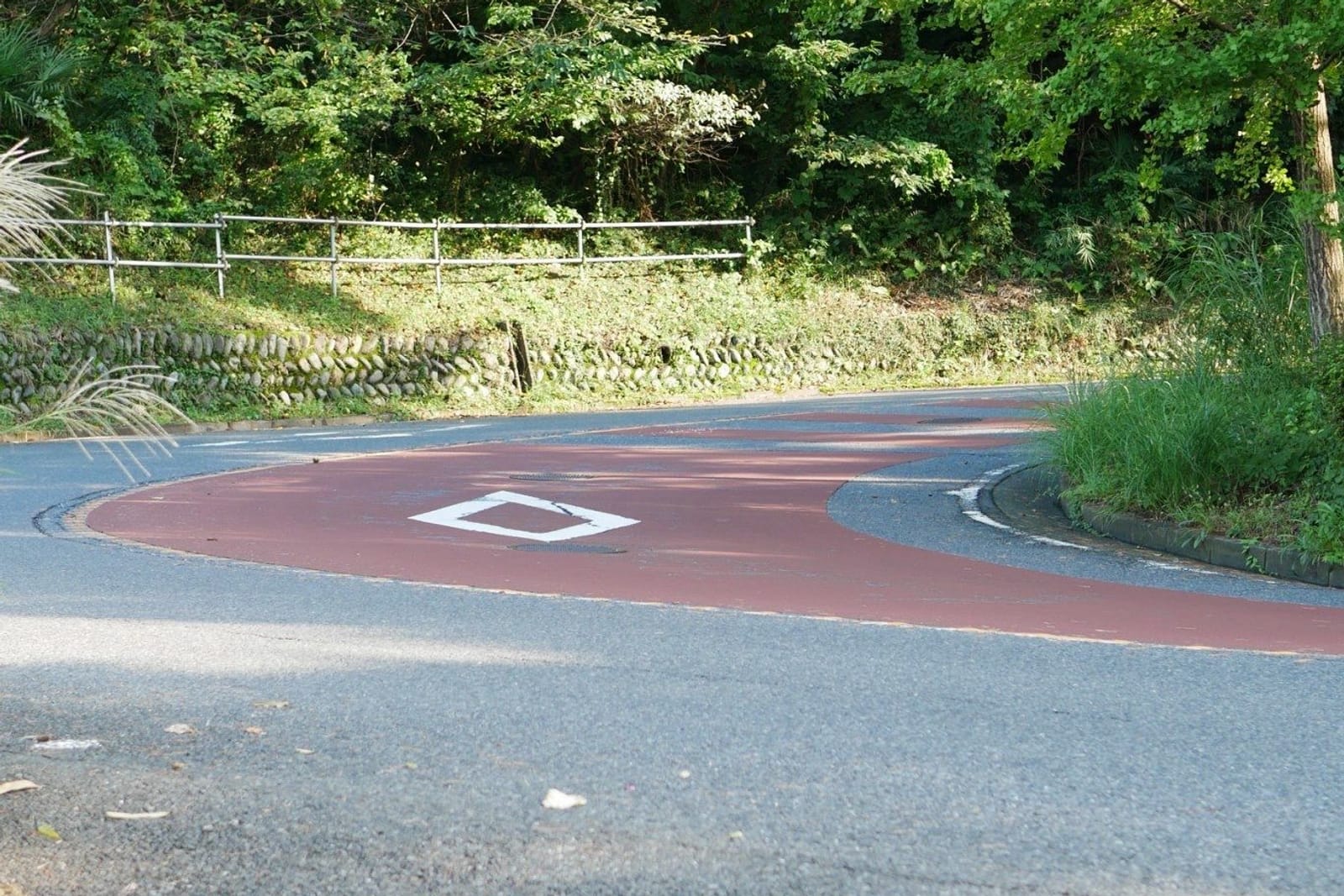
Irohazaka (いろは坂) is the winding slope that climbs from the Otakuri River to the residential hilltop of Sakuragaoka. A straight stairway cuts across its bends, and Tama City’s walking map calls these stairs the model for the ones in Whisper of the Heart. The climb is short but steep. Take the stairs for the film view and the road for an easier gradient. Konpira Shrine and Tenshudai, the high point, are near the top.
Irohazaka at a glance
| Where | Between the Kasumigaseki Bridge over the Otakuri River and Tenshudai, Seiseki-sakuragaoka, Tama City |
| From the station | Leave Seiseki-sakuragaoka Station (聖蹟桜ヶ丘) by the West Exit, follow Sakura-dori and cross the river. See the walking route |
| Two ways up | Stairs (direct, steep) or the road (Irohazaka-dori, zigzag, gentler) |
| Film links | The stairs (per the map), Konpira Shrine (confession scene), Irohazaka Sakura Park (where the library stood in the film) |
| Cost | Free, public streets |
The name echoes Nikko’s much larger Irohazaka, whose hairpin bends are often linked to the iroha syllables.
The climb, section by section
The bottom: river to Irohazaka Sakura Park
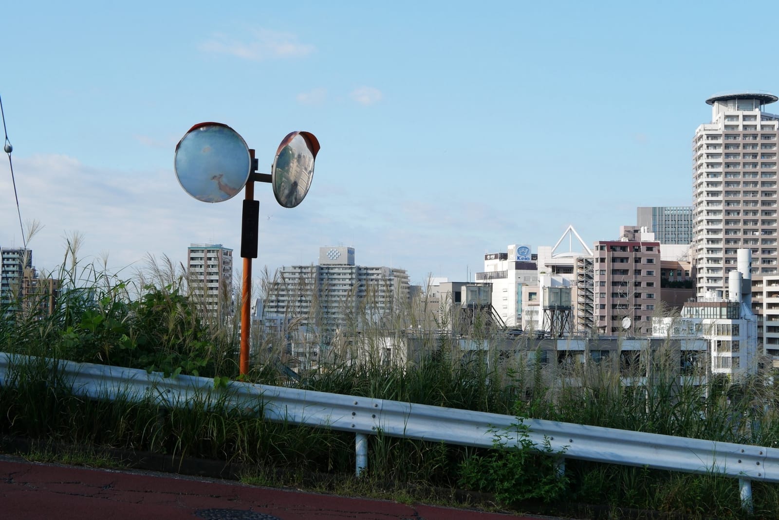
After the Kasumigaseki Bridge (霞ヶ関橋), the road begins to rise past apartment buildings. The map marks the wooded slope beside the road as the Kasumigaseki Special Green Conservation Area (霞ヶ関特別緑地保全地区). Irohazaka Sakura Park sits on the lower slope. The map says you can see the station area from here, the cherry blossoms are lovely in spring, and this is where the library stood in the film.
The middle: switchbacks and the stairway
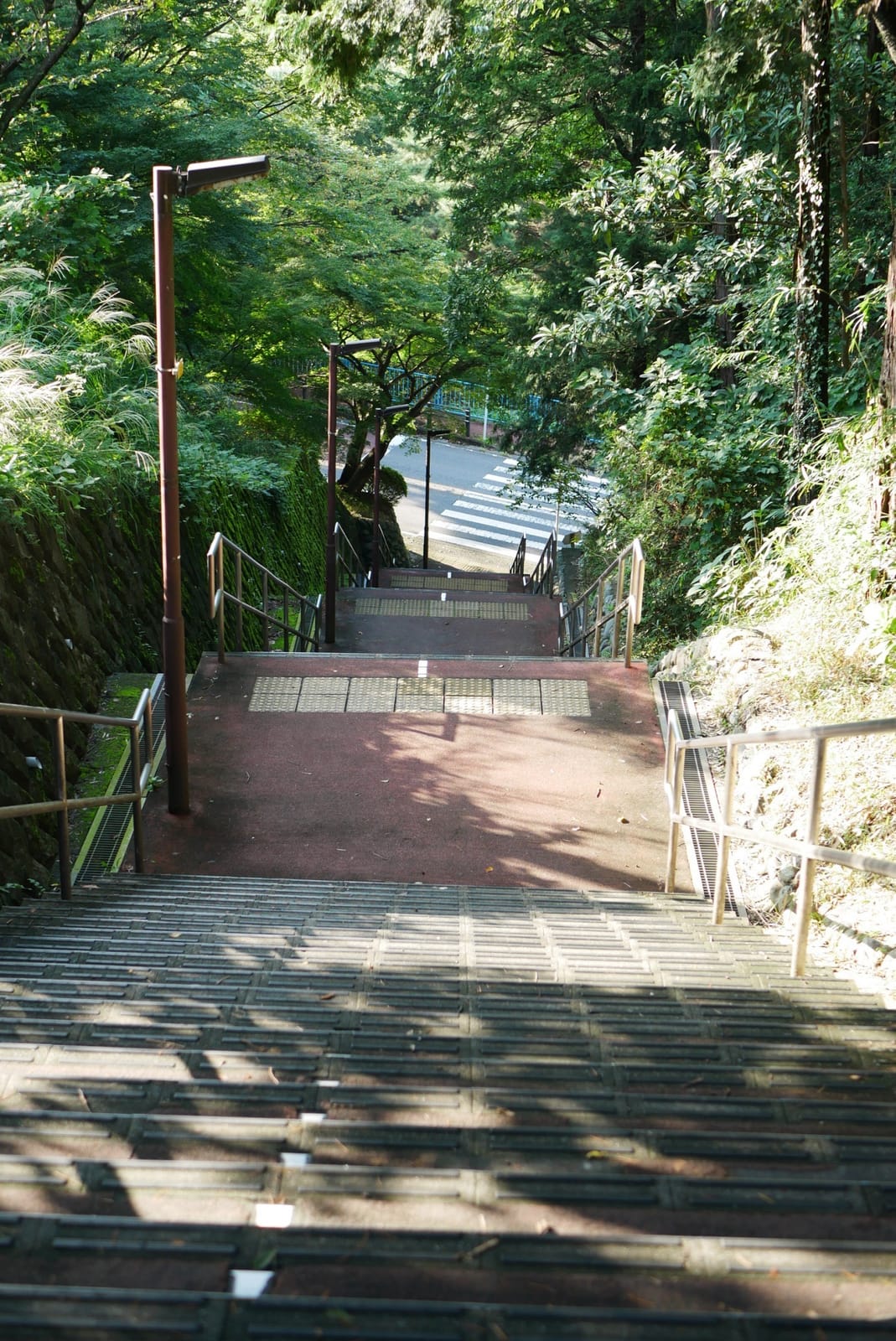
This is the image most fans come for. Irohazaka-dori doubles back on itself several times. The stairway runs straight up through the bends. The map’s notes on the stairs:
- they are the model for the stairs in the film,
- the view looking down is pleasant,
- a large old pine tree stands beside them, and the stairs are surrounded by greenery.
Stairs or road?
| Stairs | Road (Irohazaka-dori) | |
|---|---|---|
| Steepness | Steep | Gentler but longer |
| Film view | Yes, this is the scene | Partial views of the bends |
| Strollers / wheelchairs | Not suitable | The practical option |
| Traffic | None | Shared with cars. Walk single file |
| Going down | Hard on knees | Easier |
The top: Konpira Shrine and Tenshudai
.jpg)
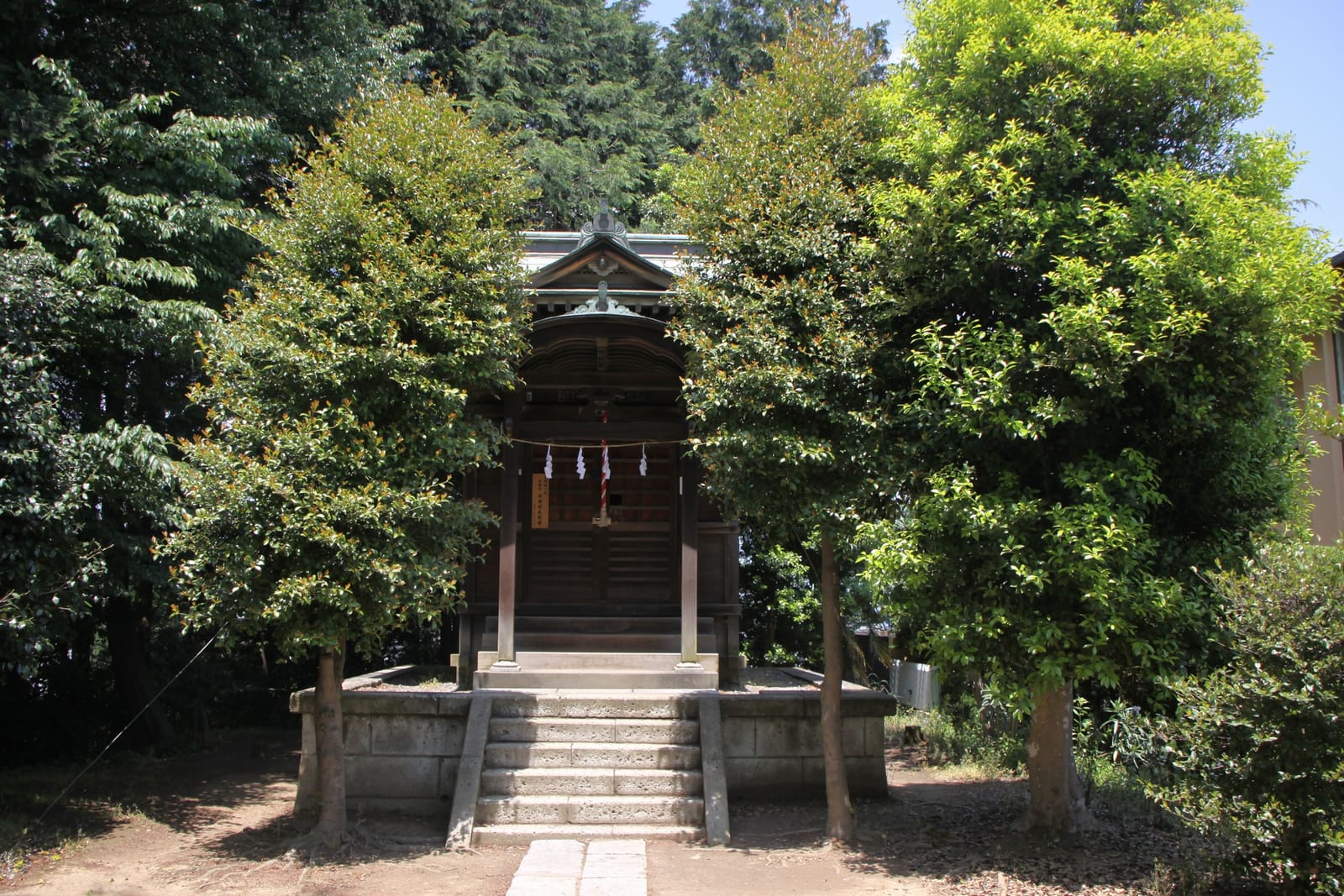
Near the top, the map marks Konpira Shrine (金比羅神社). It is the model for the place where Sugimura confesses to Shizuku. The map says the hill was called Konpira-yama and was the scene of fighting between the armies of Nitta Yoshisada and the Hojo in the Kamakura period. It is a small shrine inside a residential area, and the map asks visitors to be quiet.
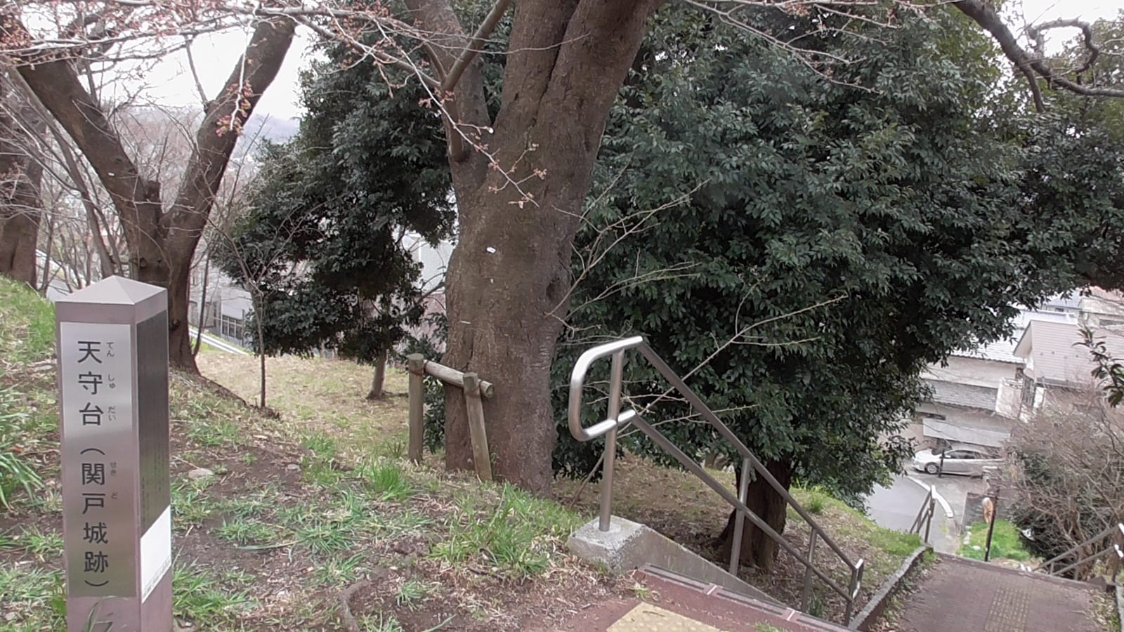
A little further on is Tenshudai (天守台), the highest point on the walking map. It was a lookout from the Kamakura period and is said to be the site of Sekido Castle (関戸城跡). The map’s illustration shows a railing and a view out over the town.

Visiting the shrine considerately
- Bow at the torii and keep your voice low. People live right next door.
- Don’t sit on the steps or block the path for photos.
- If you want to make an offering, the usual shrine etiquette applies.
- Don’t leave fan letters, drawings or ema unless the shrine provides a place for them.
Photography tips
- Stairs from the top, looking down, shows the slope best. The map describes the view from the stairs as pleasant.
- Morning or late afternoon for softer light on the town.
- Spring brings cherry blossoms at Irohazaka Sakura Park and along Sakura-dori.
- Keep residents’ homes, cars and faces out of your shots, and never stand in the road for a photo.
Before and after
- Before: set off from the Youth Post at the West Exit. Get stamp ① in the station building and stamp ② at the FamilyMart on Sakura-dori. Bring water, because there are few shops on the slope.
- After: continue to the Sakuragaoka roundabout for stamps ③ and ④ (Noa Yogashiten or Dining Wazakura) and a break. Haramine Park is about 3 minutes further, according to the map. There are toilets at Yu Sakuragaoka next to it.
- Getting down: take a bus from Sakuragaoka 4-chome back toward Seiseki-sakuragaoka Station, or walk back down the stairs.
Full turn-by-turn directions are in Whisper of the Heart Walking Route and Map. For a snack stop, see Lunch in Seiseki.
Based on Tama City’s Seiseki-sakuragaoka walking map (April 2025), checked in October 2026.
Prices and hours change. Check the official site before you go.